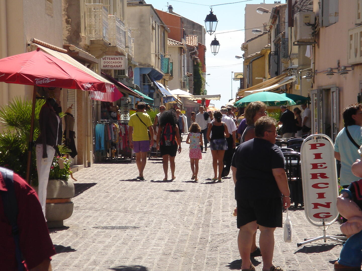
CD06-rue roche+monde.JPG

Cœur de village

in Palavas-les-Flots
Unresolved hours
0.6 km
  • Departure
    Palavas-les-Flots
  • Difference in height
    10.19 m
  • Documentation
    GPX / KML files allow you to export the trail of your hike to your GPS (or other navigation tool)
10 meters of difference in height
Created with Highcharts 6.2.0Distance (km)Altitude (m)0 km0.05 km0.1 km0.15 km0.2 km0.25 km0.3 km0.35 km0.4 km0.45 km0.5 km0.55 km2 m3 m4 m5 m6 m7 mHighcharts.com
  • Start altitude : 2 m
  • End altitude : 4 m
  • Maximum altitude : 6 m
  • Minimum altitude : 2 m
  • Total positive elevation : 10 m
  • Total negative elevation : -8 m
  • Max positive elevation : 2 m
  • Min positive elevation : -2 m